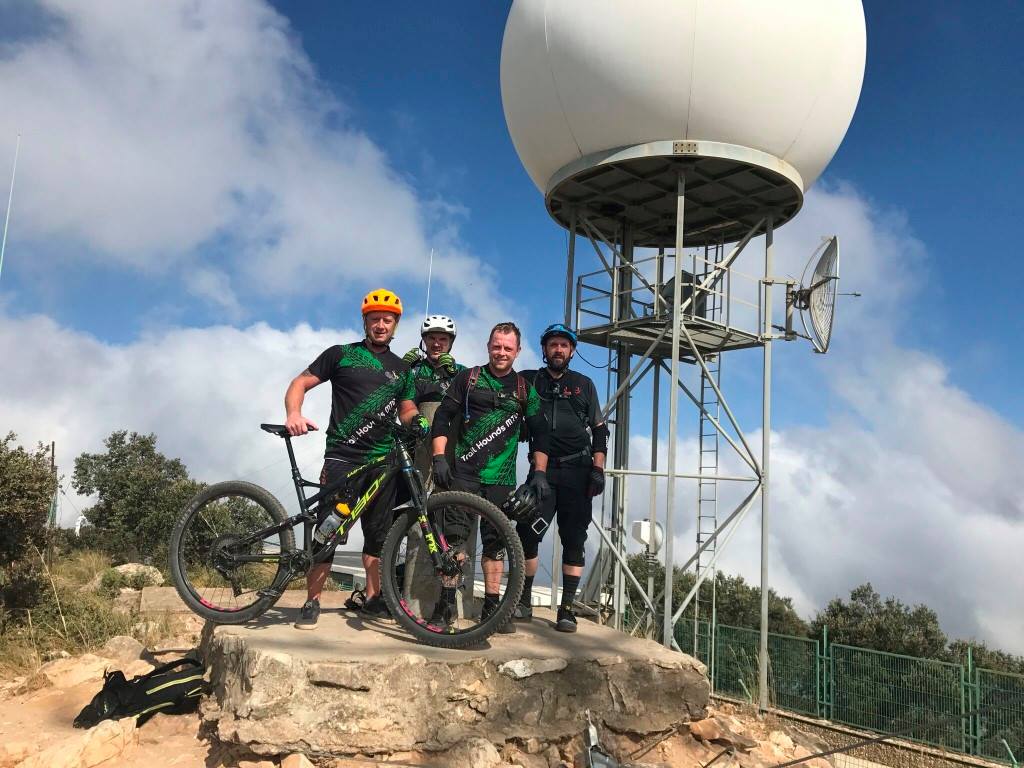
Starting from a quarry at about 500m above sea level. we make our way up a gradual zigzagging fire road climb for aproximately 25-30min. Once we get to the highest point of the fire road, we-ll find a trail entrance on the left hand side where we’ll begin a 20 min. “hike-a-bike” climb to the very peak of the mountain. At the top we’ll come across the famous “golf ball” which is a big white ball that was installed up there as a weather radar. A perfect photo op. So, after a well-deserved rest and energy bar whilst enjoying the spectacular views, it’s time for a long rocky descent all the way down to the Alhaurin forest. A very technical and gnarly trail with a few tight and exposed switchbacks, only for the more advanced riders. Definitely a great experience!